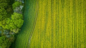
Your fields aren’t all the same, and your plots aren’t uniform either.
Some yield more, others less. Some retain water efficiently, while others dry out too quickly.
The real question is: do you truly know your land?
Soil mapping is becoming an increasingly strategic tool for anyone who wants to grow better, save on inputs, and make data-driven decisions.
And no, it’s not just for large-scale precision farming.
It’s an accessible, practical, and highly valuable resource even for small and medium-sized farms.
What is soil mapping?
Soil mapping is the process of creating a digital map that shows the internal variability of a field, highlighting how factors such as texture, organic matter, pH, salinity, moisture, and nutrients change from one area to another.
How does it work?
Data are collected using sensors, soil analyses, satellite imagery, or drones. These data are georeferenced and displayed on layered maps that provide a detailed and accurate picture of your soil.
In simple terms: mapping shows where and how soil characteristics vary, helping you manage each part of the field in the most effective way.
Why soil mapping is essential in agriculture
It enables you to:
- Optimize fertilization, without overusing or wasting resources
- Irrigate only where and when needed
- Choose the most suitable crops or rootstocks for each zone
- Reduce costs and agricultural inputs
- Increase field productivity sustainably
- Monitor soil evolution over time
- Make data-based decisions instead of relying on intuition
How to perform soil mapping
There are several approaches to soil mapping, some traditional (based on chemical and physical parameters), others more innovative.
Here are the main ones, including the methods used by Soliomics to deliver a professional, accessible, and tailored service.
Zone-based soil analysis (by Soliomics)
Soliomics starts with data collected directly in the field, defining homogeneous areas and performing targeted sampling.
The result?
- Highly accurate maps based on the soil’s real chemical, physical, and — above all — biological characteristics
- Digital reports with practical recommendations for fertilization, crop rotation, and irrigation
GIS and georeferenced data
GIS (Geographical Information Systems) integrate satellite imagery, cartography, and field data to provide a geospatial view of the terrain, the foundation of Agriculture 4.0.
Electrical Conductivity Sensors
Mounted on tractors or ATVs, these sensors measure the soil’s ability to conduct electricity, helping to identify areas with different textures or moisture levels.
Electromagnetic Induction
These sensors detect the soil’s response to electromagnetic waves, allowing the definition of homogeneous zones for sampling.
Gamma Rays
They analyze the soil’s natural (and safe) radioactivity levels, linked to geological composition and mineral presence — useful for mapping texture variations.
Spectroscopy
By analyzing the light reflected from the soil, spectroscopy determines organic matter content, texture, and nutrient levels. It can be performed in the field or via drone.
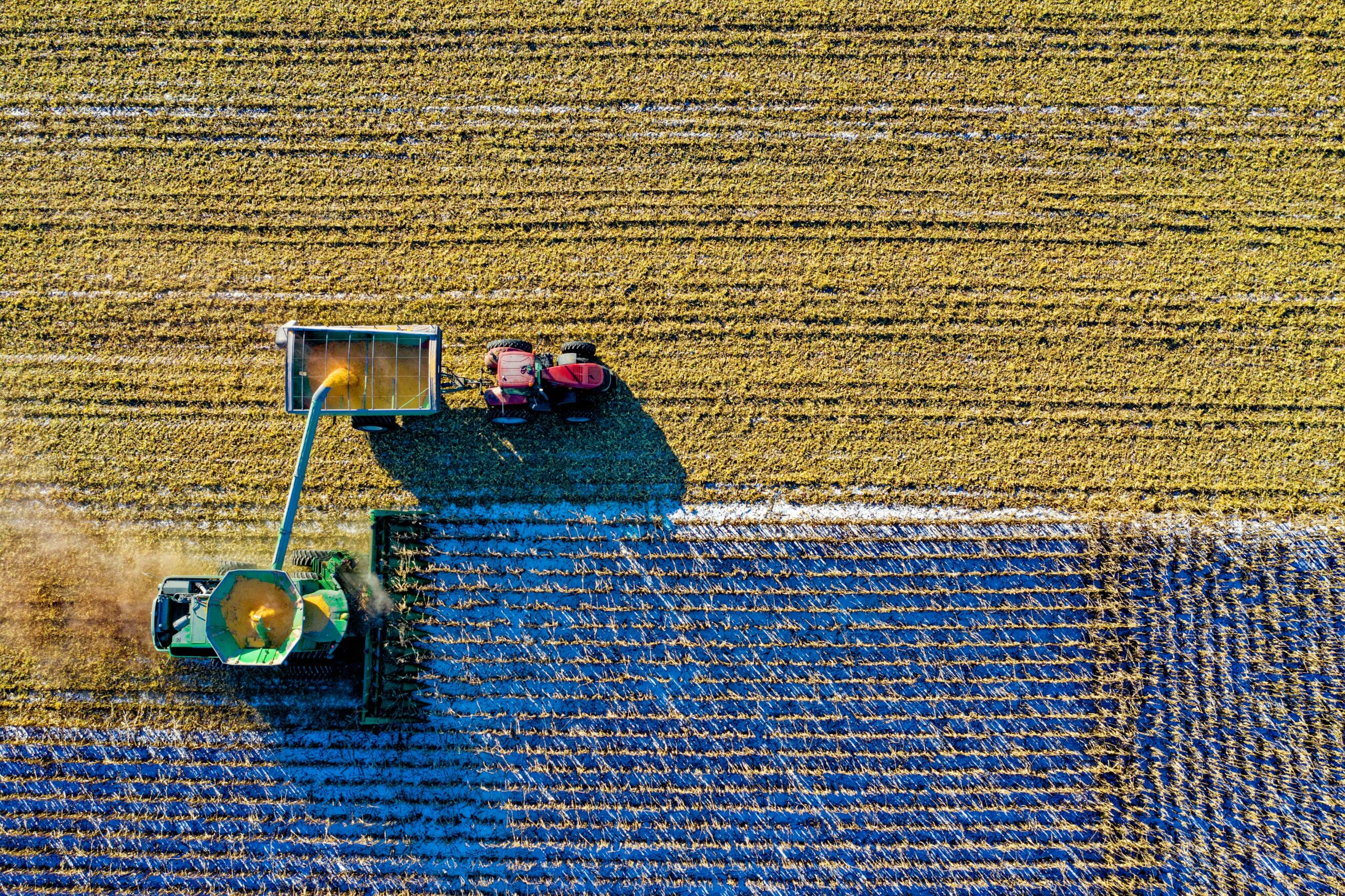
Yield Maps
Collected from GPS-equipped harvesters or grape harvesters, these maps show the most and least productive zones — ideal for correlating yield data with soil characteristics.
The benefits of soil mapping
Why do it? Because it helps you:
- Understand your field meter by meter
- Make targeted agronomic decisions (not just by eye)
- Increase crop yield and quality
- Avoid unnecessary and costly interventions
- Save on fertilizers, water, and treatments
- Adapt better to extreme weather conditions
- Make your farm more efficient and sustainable
Conclusion
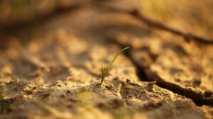
Today, knowing your land “by heart” is no longer enough.
You need a precise, data-driven perspective.
Agricultural soil mapping is a strategic tool to face the challenges of modern farming with intelligence and awareness.
If you want to truly understand how your soil varies (and how to manage it more effectively) Soliomics is the partner for you.
Contact us today and request your customized soil mapping service.